
Next, I noticed this perched boulder with an interesting shape.

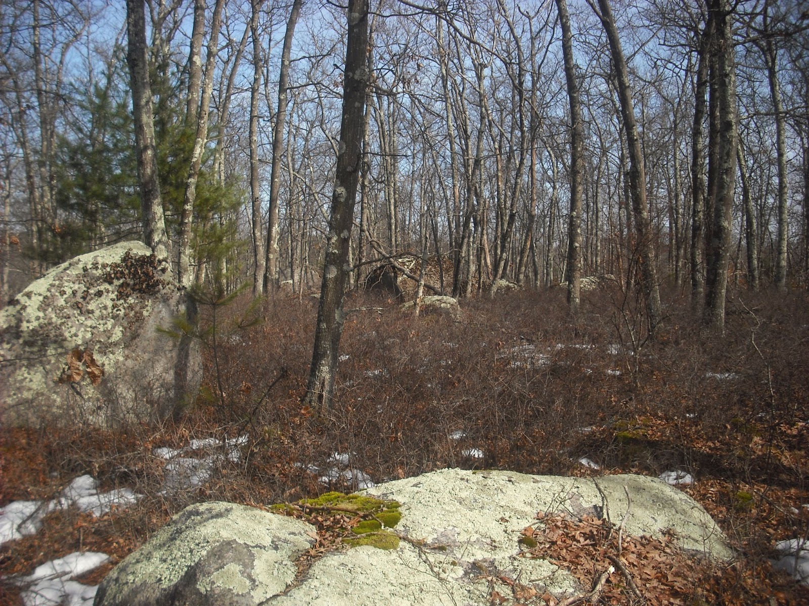
The top of the hill has many large boulders in clusters.

Closer examination showed it is truly massive, at least 10 feet tall and 15 feet long.


Downhill from the massive perched boulder stands an impressive propped boulder.


I could not find these boulders on satellite imaging because pine trees obscure the view. Here is the original LIDAR image.

This looks much better in Grass GIS 3D on my monitor, but the massive perched boulder and some of the clusters of large boulders are visible, and marked below.

LIDAR can show patterns of large boulders suggesting interesting sites, as well as walls and large rock piles. Very large and oddly shaped boulders may have had significance to the Natives, and often are surrounded by smaller stone structures. This broad and level hilltop may have once been an important campsite or meeting place.
No comments:
Post a Comment