Thursday, January 26, 2012

Lost Palms Oasis

Are you tired of cold and snow?  Can't find any interesting structures?


Then come along on a hike to Lost Palms Oasis in Joshua Tree National Park.  This area was once the homeland of the Cahuilla Indians.  They had no contact with whites until 1840, and by 1850 were on reservations.  Since this desert area has never been farmed, many structures remain.   These structures are still visible along trails leading to water.  The starting point is Cottonwood Springs, which was dry when I was there in May 2010.
Signs of long term human habitation remain here. I have heard that it takes 20 years of use to wear these mortars down an inch. These are about a foot deep.
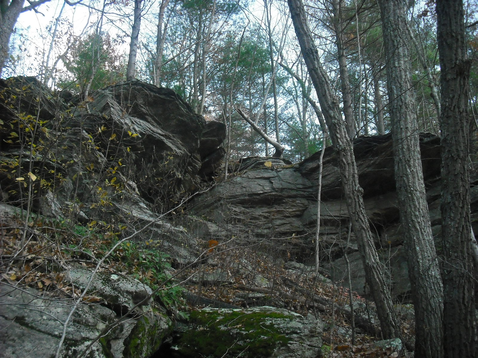
Continuing along the trail, I enter a lovely landscape of rocks, yucca,  and thorny  ocotillo bushes.  The rock here is monzogranite, which erodes into large block and boulders.  This produces a fantasy landscape of jumbled boulders.
 Whether this is a deliberately perched boulder or a natural formation is nearly impossible to determine.  However, I see smaller stones placed on boulders along the trail.  Trail markers?
As I approach the oasis, after three miles of easy hiking, I start seeing more likely structures.
Finally, the oasis, and a fabulous view before I descend.
The trail is loose, so this is a slow descent.  When I reach the oasis, this carving surprises me.
It looks like the same fertility symbol that I find around ponds in Rhode Island.
This place is such a jumble of boulders, it is hard to tell what is propped and what is just a fallen rock.
The Cahuilla did not live in the oasis, because the California palms here are very flammable.  Instead, they lived  in small thatched huts in the area outside the oasis.
This is a ruggedly beautiful spot, but the sun is blazing and it is a long walk back to Cottonwood Springs.
Off in the distance, the Salton Sea. Although the sea is man-made, it rests in the bed of prehistoric Lake Cahuilla.


Thursday, January 19, 2012

Structures South of the Snake Wall

This is the same site as in the last post, "Two Walls". On the shore of a small pond south of the snake wall stands this strange structure.
 The oblong stone points to the southwest and there is a small space under it.  The bearing of the propped stone, 212 degrees, does not correspond to any astronomical events. The entire structure is about four feet tall, and  the oblong stone is about four feet long.  I have seen other  "pointers", but they are always wedged into an outcrop, like the following.
This is the only ground level "pointer" I have seen. The view from this structure is blocked by trees, but the stone points towards this outcrop about 220 feet away.

Whether the structure was built to point to this outcrop, or for some other purpose, is unknown. It could have had a spiritual use, such as a way station for spirits traveling to the afterlife in the southwest sky.  Or it could have been a fertility symbol, which is suggested by some of the other structures close by.
 About 50 feet from the structure is this split boulder.
 About 300 feet away and  on the shore of the pond is this  structure.
And these two smaller ones.
Looking at a map, I notice that if a straight line is extended south from the snake wall, it would pass through the pointer structure.  Further south along this line is the small cairn field with a circular structure described in "The Sweat Lodge".  Granted, this alignment may be coincidence and any other structures have been lost.  However, I wonder if there was  a progression from the snake wall to these structures, as if walking through this landscape tells a story of creation. 


Thursday, January 12, 2012

Two Walls

Somewhere in northern Rhode Island is a large patch of preservation land with some small ponds and wetland.  On a warm Saturday afternoon in January, I was walking there and I noticed these two manitous to the west of the trail.
These turned out to be the end of a stone row that ran about 170 feet to the south.
This standing slab style is common in stone rows in northern Rhode Island. Most of the wall was loose stones with an occasional manitou. It did not connect with any other walls.
Further north in the same site is another wall, which  starts at a large boulder with a strong resemblance to a snake head.
This well built wall runs about 207 feet nearly north, and has interspersed quartz stones.
It ends in loose piles of rocks on  a small hill.
On top of the hill is this natural structure.  Some veins of quartz are visible on the other side.
The  wall seems to  connect this natural structure to the snake head boulder.  The snake head faces a nearby pond.
     I have seen single stone rows incorporating remarkable boulders at other sites in RI.  They are often at the edges of slopes and meadow areas that could have been cultivated by the Indians. The walls could have been boundary markers, and  incorporated  the symbols of the clan using the fields. Snakes could also have been fertility symbols.


Thursday, January 5, 2012

A Quarry

Previously, I have posted pictures of outcrops in which the underlying rock was quarried  away, creating a large manitou-like slab (9/3/11).  In one case (10/7/11), the quarried rock was used to create a standing slab wall.  Here is another, in which the underlying stone was removed almost completely.  Nearby are many walls, and  some of the stone was probably used to construct them.

Directly beyond this structure is a pile of smaller stones, presumably rocks too small for use in walls.
Maybe some settlers used this quarry.  However, about 100 feet from this pile is this well-formed cairn, now resting in a swamp.
Near the quarry is this rock stack. The top rock is propped into place.
 This is the same stack in "The Bent Tree" (11/3/11), and this is the view of the bent tree from the base of the cliff. The presence of the cairn and rock stack suggest that this quarry was once used by Native Americans.

The rock stack and quarry  have striking shapes that I always wanted to paint.  Here they are in oil with lots of palette knife technique.