Wednesday, March 26, 2014

A Corner on a Hill


On a hill somewhere in RI are the three propped boulders of a "corner", which may have once been a Native campsite.  At one end of the corner is a large boulder which looks like it toppled off an outcrop.


Here it is seen from the front, showing the cracked foot rock.  Like many of these propped boulders, it has a rounded bottom surface.


The center propped boulder is 77 feet away. It forms a right angle with the two end boulders.


The third propped boulder is 156 away.  Afternoon glare ruined the photo.


The first boulder shown  is near the end of a long wall.


Sometimes I wonder if these propped boulders were used as boundaries in land transfers.  In a few sites, walls run past them or end near them.


Wednesday, March 19, 2014

LIDAR and the Real World

For the past two months, I have been posting garishly colored  images of  LIDAR terrain models.  LIDAR imaging certainly is a fun activity during snow storms, but now it is time to take the data to the real world. Sunday afternoon I followed some GPS coordinates generated from a LIDAR image to an unfamiliar  hilltop somewhere in western RI.   At the edge of the hilltop, I found a perched boulder faintly resembling an animal head.


 Next, I noticed this perched boulder with an interesting shape.


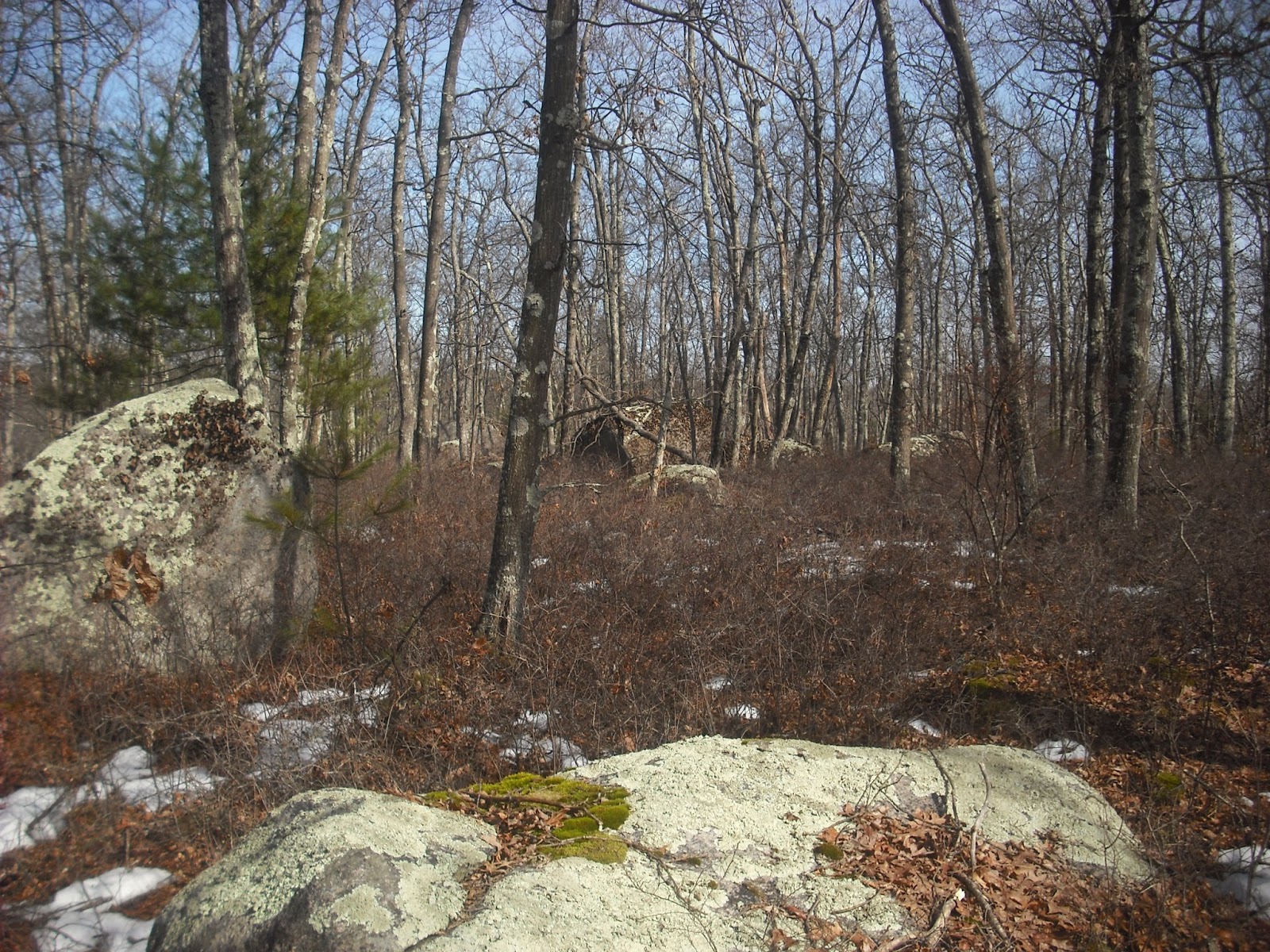
The top of the hill has many large boulders in clusters. 


This very large boulder showed up as a "peak" in the LIDAR image.


  Closer examination showed it is truly massive, at least  10 feet tall and 15 feet long.


This angle shows its symmetrical oval shape. It must have been an impressive landmark many years ago.


Downhill from the massive perched boulder stands an impressive propped boulder.


I could not find these boulders on satellite imaging because pine trees obscure the view. Here is the original LIDAR image.


This looks much better in Grass GIS 3D on my monitor, but the massive perched boulder and some of the clusters of  large boulders are visible, and marked below.


LIDAR can show patterns of large boulders suggesting interesting sites, as well as walls and large rock piles.  Very large and oddly shaped boulders may have had significance to the Natives, and often are surrounded by smaller stone structures.  This broad and level hilltop may have once been an important campsite or meeting place.


Wednesday, March 12, 2014

Corner in Slush

 Tuesday afternoon I took advantage of the warm, sunny weather and daylight saving time to visit one of my favorite sites.  This is a corner of three propped boulders in a group of corners resembling two large enclosures, which I have shown before (9/18/13).


This square perched boulder is next to a large propped boulder shaped like an inverted triangle (1/8/14).  Perhaps this table-like surface was once a work site.  At the center of this corner and  close to a stream stands this large propped boulder.


This area has been altered by farming, as indicated by a building foundation.


However, a nearby small hill overlooking a stream would have been a good camp site.  This may have been the residential part of the corner.


Further along the stream is this large propped boulder on another small hill.  I took this picture weeks ago, before  the snow started falling.


There is a boulder with a deep concavity by the stream.


This looks like a grinding slick.  Perhaps this was once the women's work area where  they crushed acorns and soaked them in the stream to remove the tannins.


This is why I park on the road.  I nearly lost a boot in this mud!


Thursday, March 6, 2014

Old Farm Cemetery

No trip to an old farm site is complete without a visit to that wonderful repository of geneology and folk art, the old family cemetery. Somewhere in Northern RI is this unusual tombstone inscription.


It reads:
Erected By
John B. Brown, Son of
John B. Brown, Born
 Nov 26, 1796, Died
Aug 18, 1863,  Son of
John Brown, Son of
John Brown, Son of
Gideon Brown, Son of
Joseph Brown, Son of
James Brown, Son of
Chad Brown, who came 
to Providence RI 1637

There are a few old homemade headstones,


and a poignant reminder of the hard work of farm life.


Tuesday, March 4, 2014

History Under the Snow

     This afternoon I decided to  go for a walk at one of my favorite sites.  There are three propped boulders in this small area on a little lakeside hill.  Recently, I have been exploring the idea that Native campsites had three sections:  a residential area and two gender-specific work areas, and that these areas may be  marked with propped boulders.  I have found mortars and grinding slicks near or even on some propped boulders, supporting a function as work sites. Even though these details are hidden under ice and snow, it is still fun to walk and imagine a winter camp.
   On entering the site, I always stop to admire this large propped boulder which looks like a bird head.


This is one part of the "corner".  About 60 feet away is another  propped boulder.


Walking up to it, I realize it has a nice flat top at the right height for working standing up.
 It also has its own supply of quartz.


Maybe this was the men's work station for making arrowheads and tools. I have shown this boulder before, in this imaginary depiction of winter at this site first shown 3/20/13.


Today the snow is deeper and covers the bedrock and seat.  At the top of the hill is the third propped boulder of the corner.


This hilltop is broad and gently sloping, and would have made a good camping area. This boulder stands alone on the hill, and may also have been a marker for winter solstice (3/13/13). There are other stone markers of this area's previous uses.


So much history hidden in a small area by a lake.