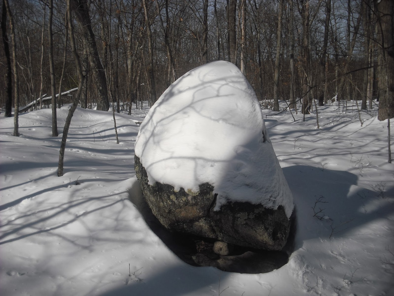
Sunday afternoon I went snowshoeing at one of my favorite sites. All the structures were hidden under the snow, but it was fun anyway. Having to stay in during snowstorms has given me more time to work on LIDAR. Here's one little project that gave some surprising results.
This is South Watuppa Pond, Fall River and Westport, MA circa 1938, in an image downloaded from earthexplorer.usgs.gov.
Here's a close-up of the area that is now the Fall River Rod and Gun Club. Its origin as the Borden farm is evident from the number of fields. The old farm house is in the larger clearing.
A dense woodland starts just south of present-day Benoit Street. The stone rows in the pond and the rocky little island are not clearly visible, probably due to a combination of high water in winter and low image resolution.
Here is the same area in satellite imagery from Bing Maps.
The field with a few buildings is still visible, but most of the farm area has been reclaimed by forest. Meanwhile, Plymouth Boulevard (N-S) and Benoit Street (E-W) have been built and lined with houses.
LIDAR imagery shows that many walls are hidden in the forest.
The walls are marked for clarity in the image below, and the rocky little island is circled. Some of the walls correspond to edges of the fields in the 1938 photo. Others are in areas, such as the north edge of the farm, that have already returned to forest.

LIDAR imagery will be even more useful when there is an easy way to extract GPS data from the image files. I'm working on it....


No comments:
Post a Comment