Here is an overview of the structure, approaching from the south.


Here is the opening for summer solstice, with the bisecting boulder in the center. Note how the edges are chipped.


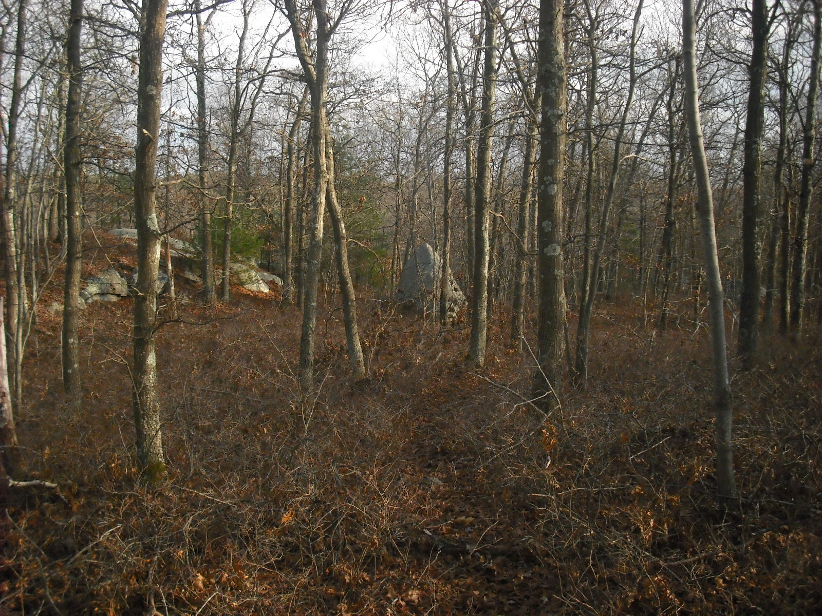
A nice view of the bisecting boulder on the way out.


This is the same slab which appears in the article, but the picture angle is slightly different. There is more graffiti, and someone touched up the swastika.

There are other interesting structures in the area, such as this huge propped boulder. This may be the one that the Sharon Conservancy trail guide calls "Moon Rock" because of lunar standstill alignments. What is most impressive about this site is the level of mathematical skill required to create aligned structures to mark fleeting yearly occurrences.

A nearby hill has more structures with alignments, but too many for one afternoon!
Very cool photos of this site - I have to check it out sometime. Have you read Living the Sky? It has a lot of information beyond solar events although it does short change the northeast as a site location.
ReplyDelete