
Monday, September 2, 2013
Still More Pond Stone Rows!
Labor Day weekend was literally a washout. Luckily, my latest copy of the Audubon Society of Rhode Island Report brought quite a surprise.
 This is from an article about the Kimball Wildlife Refuge on Watchaug Pond in Charlestown, RI. It just made my must-see list!

Wednesday, August 28, 2013
Designs in Stone
Here is another stone row site on the northwest shore of South Watuppa pond. This small stone row is just south of the peninsula with the power line tower on the Fall River shore.
 The stone row has a very symmetrical stone in the center.
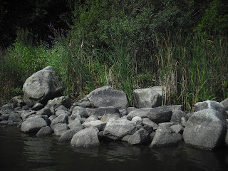
 Further along the wall is a round boulder propped on smaller stones.
 Next to this propped boulder stands a large stone worn down into a grinding slick.
 Here's a different view of the propped boulder. From this angle, it is obvious that some of the stones in the row have been placed with their long axes vertical. I have seen this type of construction in short stone rows at the shore of Cranberry Neck (7/18/2012)
 Here, in contrast, are the bulldozed boulders on the peninsula.

So, I organized the data as to what feature was seen where on the pond.
 Effigy heads are in bright green on the northwest shore. Turtle images are turquoise dots in the southern part. Walls containing propped boulders in denoted by red dots, and standing stone construction by yellow. Of course, many features may be submerged or lost to development. Perhaps some of these features relate to construction of stone rows by different clans. It would be fascinating to map the stone structures of North Watuppa Pond, and see if there is any pattern in the stone rows there. Unfortunately, as the city reservoir, it is off limits for boating.


So, I organized the data as to what feature was seen where on the pond.

Wednesday, August 21, 2013
Stone Row Symmetry
Here are some more pictures of the stone row I showed last week. Closer examination shows even more interesting details that look deliberately created. The south section of the wall starts at a large boulder on the shore.
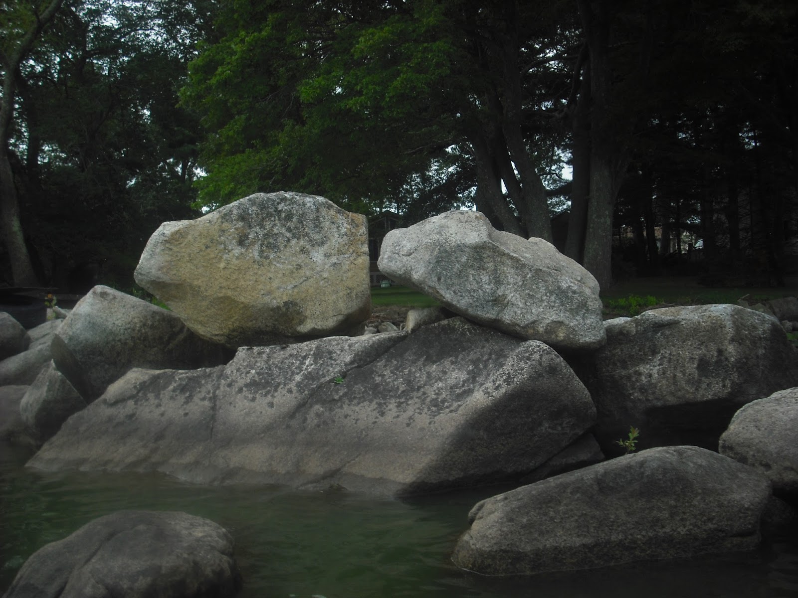
 Then the two perched rocks. The one to the left looks like an effigy head.
 Next to the perched boulders is a group of three boulders.
 The view to the north from the three boulders. That rock in the center of the photo looks strikingly like an animal head.
 This wall has symmetry: from left to right it is effigy head, three boulders, and another effigy head.
 Here's the opening between the north and south stone rows. The owners are using this as a protected swimming area.
 The north stone row, and its end on the shore. There is a large puddingstone in the stone row, near the sailboat.
 South and North Watuppa ponds were once the home of the Pocasset Wampanoags. The tribal clans are eagle, beaver, and bear. Perhaps some of these effigies represent these clans. Cranberry Neck, now the Fall River Rod and Gun Club, was the estate of Colonel Benjamin Church. This band of Natives were his allies in King Philip's War. In 1709, they moved to Watuppa Reservation with the political help of Col. Church. The Watuppa Reservation village was on Indian Town Road, away from the North Watuppa pond shoreline. Mavor & Dix suggest this move was partly to protect the band from
retribution by other Natives for collaborating with the British. These old shoreline campsites would have been very vulnerable to attacks using swift, silent canoes.
South and North Watuppa ponds were once the home of the Pocasset Wampanoags. The tribal clans are eagle, beaver, and bear. Perhaps some of these effigies represent these clans. Cranberry Neck, now the Fall River Rod and Gun Club, was the estate of Colonel Benjamin Church. This band of Natives were his allies in King Philip's War. In 1709, they moved to Watuppa Reservation with the political help of Col. Church. The Watuppa Reservation village was on Indian Town Road, away from the North Watuppa pond shoreline. Mavor & Dix suggest this move was partly to protect the band from
retribution by other Natives for collaborating with the British. These old shoreline campsites would have been very vulnerable to attacks using swift, silent canoes.



Wednesday, August 14, 2013
South Watuppa Stone Row Sites Revisited
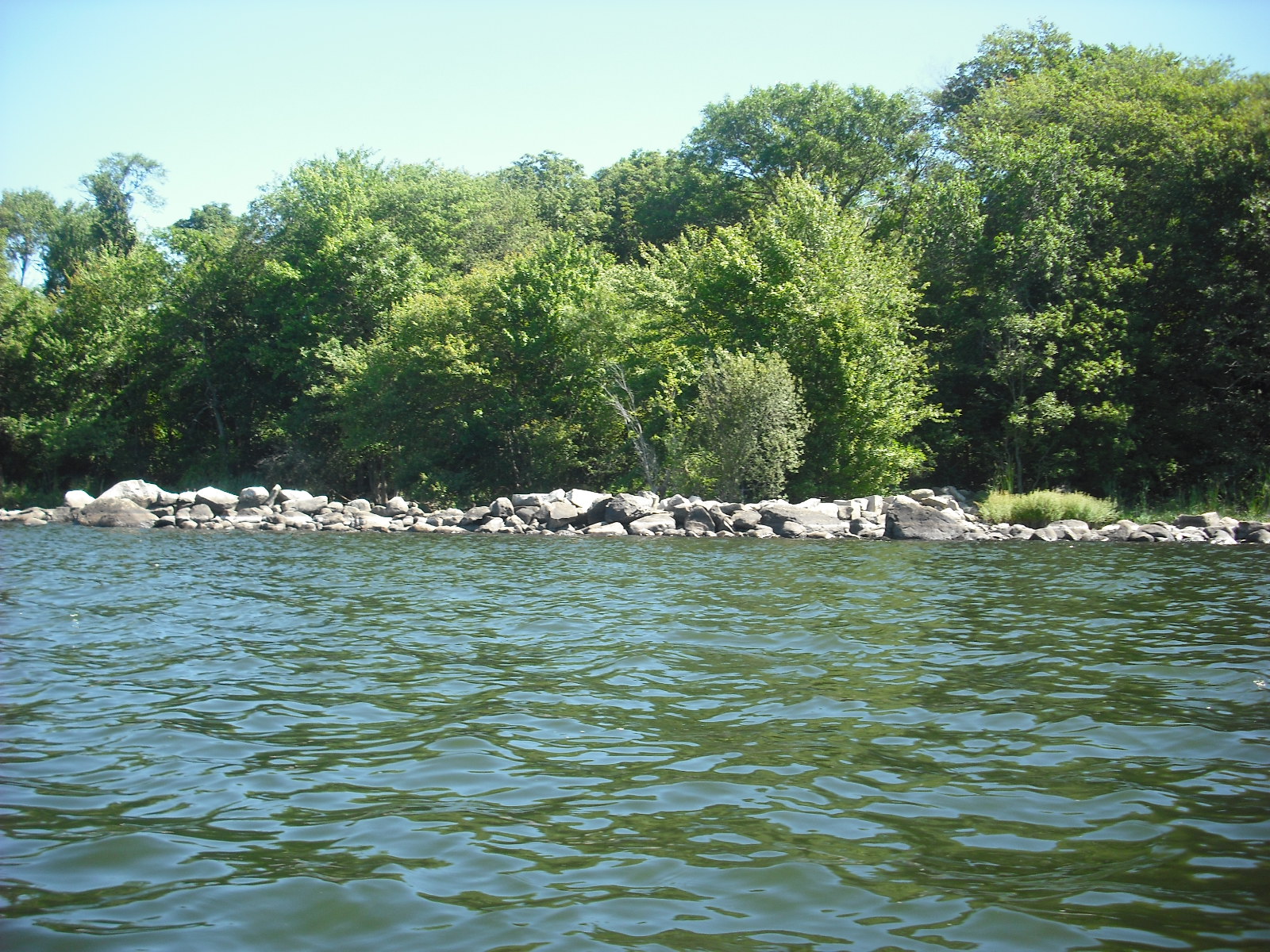
Sunday afternoon was perfect for kayaking. Here is the northwest shore of South Watuppa pond, in Fall River, MA. The closer shoreline is a squarish peninsula with a power line tower. Further on is the state boat ramp and Dave's Beach. Just beyond the peninsula is the stone row site I showed 7/29/2012.
 The stone row.
 Here is the propped boulder in the end of the stone row.
 Since the water is higher, here is a better view of the boulder with a grinding slick.
 The shoreline of the adjoining peninsula looks like rocks were
bulldozed there and dirt piled in. Sometimes I wonder if
the stone row was also created by bulldozing, but this is not likely since the grinding slick rock and
others would have been in the way.
The shoreline of the adjoining peninsula looks like rocks were
bulldozed there and dirt piled in. Sometimes I wonder if
the stone row was also created by bulldozing, but this is not likely since the grinding slick rock and
others would have been in the way.
There are more stone rows in front of houses on the Fall River side. Note the perched boulder to the left in the row below.

This looks a little like a turtle head, and is flanked by a tilted squarish stone. These were placed here deliberately.
 Here is the stone row shown 8/22/2012, with large, rounded boulders stacked on top of smaller ones.
 This is the most elaborate stone row on the pond.
 There is also a propped boulder at the shore end.
 These stone rows were probably created by Natives clearing ground for campsites. The stones were carefully placed, and motifs such as propped and perched stones, and effigies had meaning. The grinding slicks give mute testimony to many years of grinding acorns and other foods.


There are more stone rows in front of houses on the Fall River side. Note the perched boulder to the left in the row below.

This looks a little like a turtle head, and is flanked by a tilted squarish stone. These were placed here deliberately.


Wednesday, August 7, 2013
Kayaking Through History
The reason I never get tired of kayaking on South Watuppa Pond is that the light, clouds, and wind are constantly changing. July 28 was a typical summer day in that the afternoon breeze was from the south. The calm lake in the last post now has a stiff, cool breeze from the west carrying huge clouds. By winter, the wind will be coming from the north. Wind direction is always important, and I plan the outing so the afternoon wind will blow me back to the boat landing.
A Sunday afternoon paddle is always a history lesson. There is everything along the shore from stone rows and effigies to the Meditech building and suburbia.
Here is the view from inside the square enclosure (7/4/2012), which may have been a Native camp site or burial ground.
 Since the water is always calmer in here, it is a handy place to stop for a water break.
One of the loveliest spots is Christopher Borden brook. When the water is high, it is passable all the way to the little stone bridge on the Fall River Rod and Gun Club road.
 This deep inlet did not exist hundreds of years ago when the pond was much lower. Neither was there any spartina marsh grass or purple loosestrife. However, there were the same painted turtles, frogs, muskrats and dragon flies. The waterlilies are native and the roots can be used as food. The wide shallow area directly outside the brook was probably a Native campsite ( 7/18/2012 ).
 It is always a little jarring to drift down the brook, follow the curve, and suddenly see Fall River, I-195, and Mount Trashmore in the distance. Further north along the shore is the foundation of the Lassonde ice house.
 Note how the walls are straight and even on top compared to the stone rows. Further along, on the Fall River side, are these large stone disks.

 These were fly wheels in the mills. And here's an old mill water intake.
 And finally, the outlet of the Quequechan River, which powered the mills.
 This view of Fall River is a little hazy in the afternoon sun.
 From left to right is a mill smokestack, the very thin steeple of St. Mary's Cathedral, the square bell tower of the Rodman Mill, and the old BMC Durfee high school. Water power from Watuppa Pond made all this possible: the mills, the cathedral built by Irish mill workers, and the high school funded by a mill owner family.
A Sunday afternoon paddle is always a history lesson. There is everything along the shore from stone rows and effigies to the Meditech building and suburbia.
Here is the view from inside the square enclosure (7/4/2012), which may have been a Native camp site or burial ground.

One of the loveliest spots is Christopher Borden brook. When the water is high, it is passable all the way to the little stone bridge on the Fall River Rod and Gun Club road.




Wednesday, July 31, 2013
Place of Many Boats
One translation of Watuppa is "place of many boats". When I go kayaking on South Watuppa Pond, I am traveling on a great sheet of water, and can visit old stone rows and effigies. I imagine the water was once crowded with dugout canoes. The recent rains have kept the water level high, hiding the much of the structures I described last summer. However, the high water has revealed features of the turtle effigy from 8/29/12.
 The high water hides most of the turtle's head, but makes it easier to see the top of the flat rock.
 A large cavity is worn into the top of the flat rock.
 Two smaller, more shallow depressions are seen to the right of the larger cavity on the upper surface of this rock. In the center side of the rock is a "gutter". For countless years this rock stood on dry land and Native women ground acorns in the hollows and soaked out the tannins in the pond water. Environmental change and damming of the Quequechan River have raised the water level by about two feet. This created a beautiful marsh containing invasive purple loosestrife and other species unknown to the Natives. Anyone interested in the environmental changes occurring in New England after first contact should read "Changes in the Land" by William Cronon.
Further south from the turtle effigy is this stone row, first shown 6/13/2012.

 This heron is enjoying the serenity of the spot. On the east shore, most of this stone row at the small enclosure (7/4/2012) is hidden.

However, the rock propped between two larger ones is still visible.
 Most of the stone row at the east shore (6/27/2012) is also hidden.
 The hill in the distance is in Fall River. Rolling Rock stands at its crest, and was probably faintly visible from most of the stone row sites on the pond. The ground within these stone row sites is sandy and free of large rocks, suggesting they were Native summer encampments. Sometimes when I am out kayaking and see families enjoying a beautiful summer afternoon at their camps and cottages, I imagine Natives hundreds of years ago also enjoying the pond.
Here is the large rock at the east shore site, and a looming dark cloud.
 Time to head back to the put-in!


Further south from the turtle effigy is this stone row, first shown 6/13/2012.


However, the rock propped between two larger ones is still visible.


Here is the large rock at the east shore site, and a looming dark cloud.

Wednesday, July 24, 2013
Large Propped Boulders on a Hill
As I review my vacation photos, it becomes striking how often propped boulders are found in the Southwest as well as the Northeast. Manitous are common in RI, where the granite breaks into slabs, but are rare in the Southwest, possibly because the stone there does not break into slabs. In the Southwest, there are also very few rock piles or cairns, and few stone rows. Since there is no apparent agricultural use for propped boulders, it is safe to say they were constructed by Natives and not settlers. The location of the propped boulders may give a hint as to their significance. In RI, hilltops are often crowned with boulders left by glaciers, but only certain boulders are propped. Here, for an example, is a hilltop with two large propped boulders.
Here are two views of the first:
 In this face, the carved out areas along the lower edge are obvious.
 Another angle, and some more views.
 And here is the supporting rock. That is a shadow of my fingers to the right. I am trying to keep them from straying in front of the lens.
 And about 50 feet away is this boulder.
 Here is the underside, showing that it also has had chunks of rock removed.
 These two boulders, like many of the other propped boulders, are resting on bedrock. Also, they are on a direct N-S alignment. The directions were sacred to the Natives, so maybe this was a factor in choosing which boulders to prop. Two of the boulders in another site I showed previously (3/14/2012) are also on a nearly N-S alignment.
Here are two views of the first:


Subscribe to:
Posts (Atom)